ABOUT US
With over a decade of experience in creating petabyte scale geospatial systems that provide immeasurable value to both private and government organizations, Visor Dynamics has built its reputation as one of the very few companies in the region working on deep tech R&D and setting up its own standards and formats.

OUR TECH
The technologies we have developed span across various domains including geospatial intelligence, aerospace, electronic warfare, AI, drones, mapping, and more.
ELITE AI
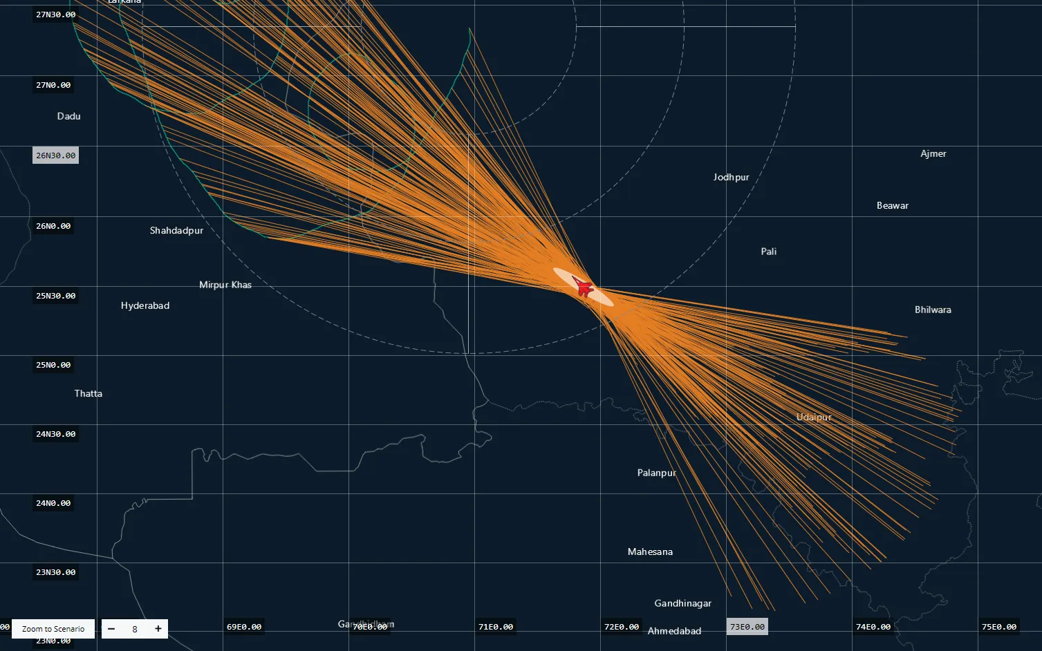
Elite AI is our first advanced reasoning system built specifically for the national security and defense sectors.
Ready to empower defense professionals to plan missions, interpret threat intelligence, automate order-of-battle scenarios, and design strike packages to counter terrorist threats with greater precision and speed.
Read More
ELITE MAPPER
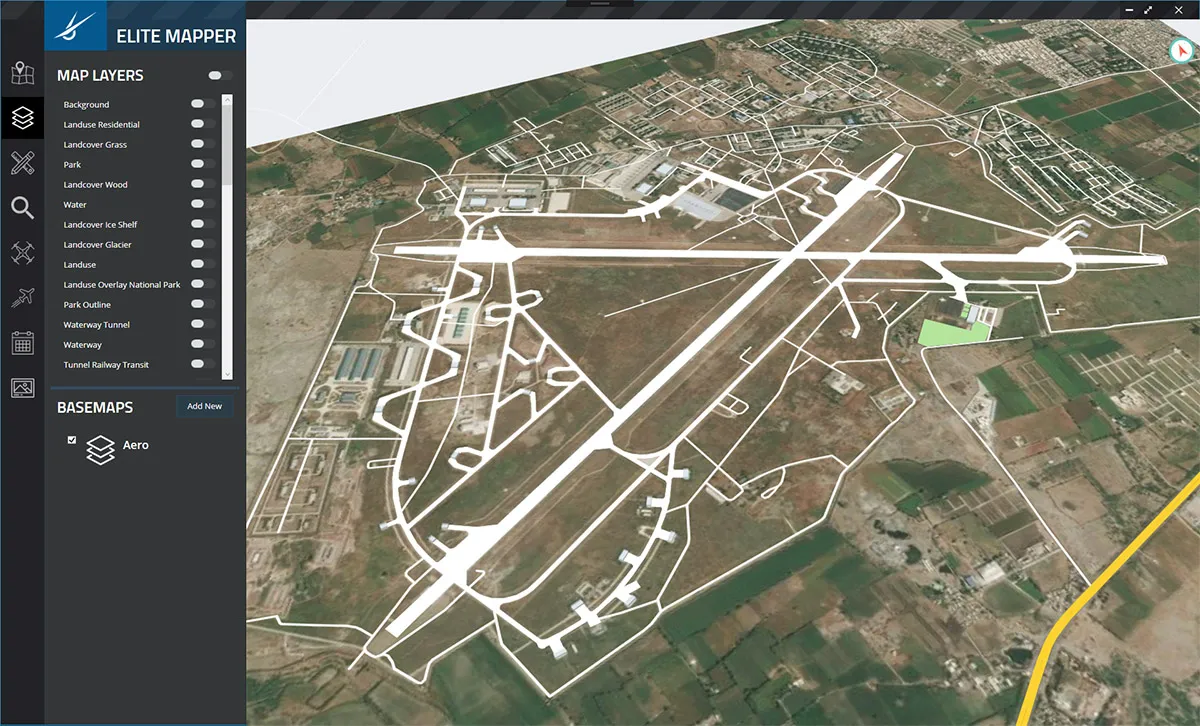
Our flagship product, Elite Mapper can visualize petabyte scale raster, vector, and elevation map data in realtime 3D. It's a cloud-native solution and can be deployed securely on-premesis.
It is currently deployed and serves as a backbone for operations of many government organizations.
GLOBAL REALTIME DTED
Our proprietary algorithms can optimize terrain for remote dissemination and visualization on low-end systems. Global high resolution centimeter scale terrain can be effortlessly viewed on the fly.
AGRIVERSE - GREENAI
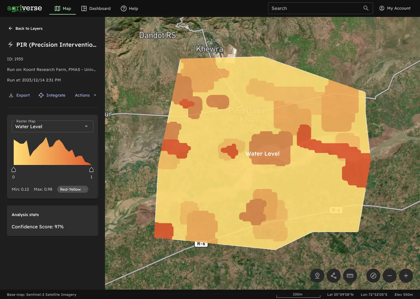
We have won the contract for development of Agriverse, a cloud native national data bank and infrastructure for storage, visaulization, and analysis of national agriculture data.
The project was awarded by National Aerospace Science and Technology Park (NASTP), and is under development and shall be deployed on a national scale.
COGNITIVE EW - ELINT SUITE
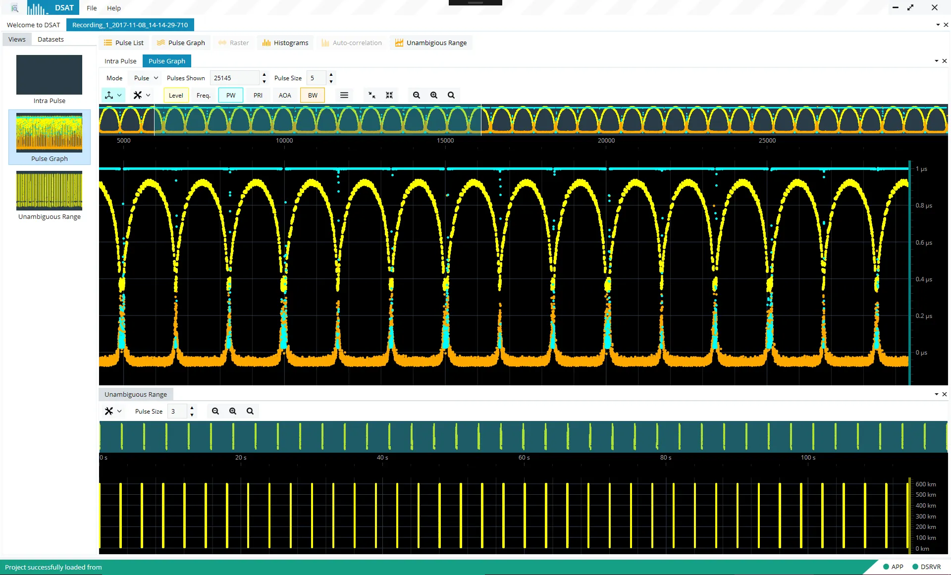
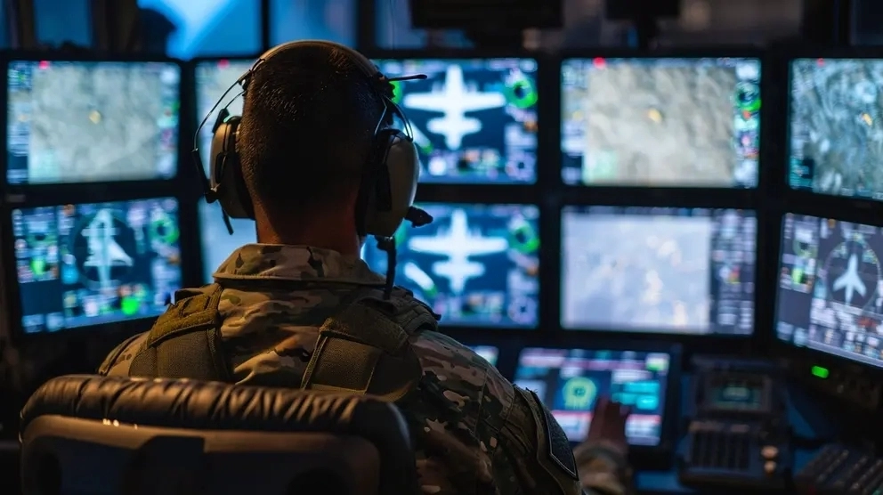
ELINT Suite allows electronic warfare operators to receive, analyze, profile, and store radar and radio pulse/hop and IQ data in realtime.
The system contains multiple AI algorithms to visually and audibly analyze signals and provide actionable insights.
It can also be deployed on military equipment and airborne platforms for realtime signals intelligence.
COMMAND & CONTROL SYSTEMS
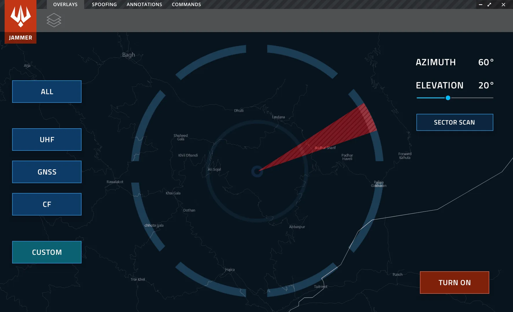
Our C2 suite can receive and visualize Electronic Order of Battle, Communications Order of Battle, DF, and jammer data from a distributed array of systems, sensors, and actuators.
THE TEAM
At Visor Dynamics, our team consists of talented individuals from diverse backgrounds, including geospatial, AI, deep tech R&D, senior leadership, and strategy. This unique blend of expertise allows us to create immeasurable value for our clients and end-users.

Ali Ashraf
Chief Executive Officer

Masna Bin Umeed
Head of Product Design

Mahrukh Agha
Lead Geospatial Analyst
WE'RE HIRING
JOB OPENINGS
We are rapidly expanding our team and are actively seeking individuals passionate about R&D and AI. If you have a relentless curiosity and a dedication to advancing the field, we want you to join us in shaping the future.
SENIOR DEVELOPER
Satellite Office (Lahore)
GEOSPATIAL ANALYST
Satellite Office (Lahore)
QA ENGINEER
Satellite Office (Lahore)
GET IN TOUCH
We would love to hear from you. Send us a LinkedIn message if you want more information about our products, services, and solutions.
FIND US HERE
OUR DETAILS
Incorporation: Visor Dynamics (Pvt) Ltd.
Website: visordynamics.uk
LinkedIn: Visit page
Address: Sector 2P, Phase 11C, DHA, Lahore.
Coordinates: ///ending.adopters.compelled
