
Elite Mapper
Raster, vector and elevation data rendered live in 3D. Runs in the cloud or on-premises, and is used by several government organizations.

Visor Dynamics
For mission-critical orgs
For over ten years we've built geospatial systems that handle petabytes of imagery, vector and elevation data for government and private clients. We're one of the few companies in the region doing deep-tech R&D, and we write our own data formats, compatible with OGC, US MIL-SPEC and NATO STANAG standards.


AI and geospatial platforms for defense, covering geospatial intelligence, electronic warfare, mission planning and airborne systems.
Raster, vector and elevation data rendered live in 3D. Runs in the cloud or on-premises, and is used by several government organizations.
 Satellites & GEOINT
Order-of-battle, IMINT, planning
 Drones & ISR
Recording, indexing, analysis
 AI & Super Computing
Reasoning and vision harness
 C4ISR & Electronic Warfare
Signals, sensors and command

Live drone video, orthorectified and draped on 3D terrain in real time. Records, indexes and plays back footage at scale, and works with various military and DJI drones out of the box.
View Details Elite AI
A reasoning harness built on defense doctrine and manuals. It helps plan missions and assess threats, and runs fully offline.

Receive, profile, and act on radar and RF signals in real-time, with multi-layer AI analysis across pulse, hop, and IQ data.
View Details
Fuse Electronic Order of Battle, DF, and jammer data from a distributed sensor array into a single operational picture.
View Details
Processes direction-finding streams in real-time, surfacing threat locations from fixed-wing, rotary, and UAV platforms.
View Details

Our very own reduced-hallucination architecture. Enhances clarity, reduces atmospheric distortion and compression artifacts · without inventing detail.
Standards we use and implement across our platforms.
Plus many more standards supported across our platforms.
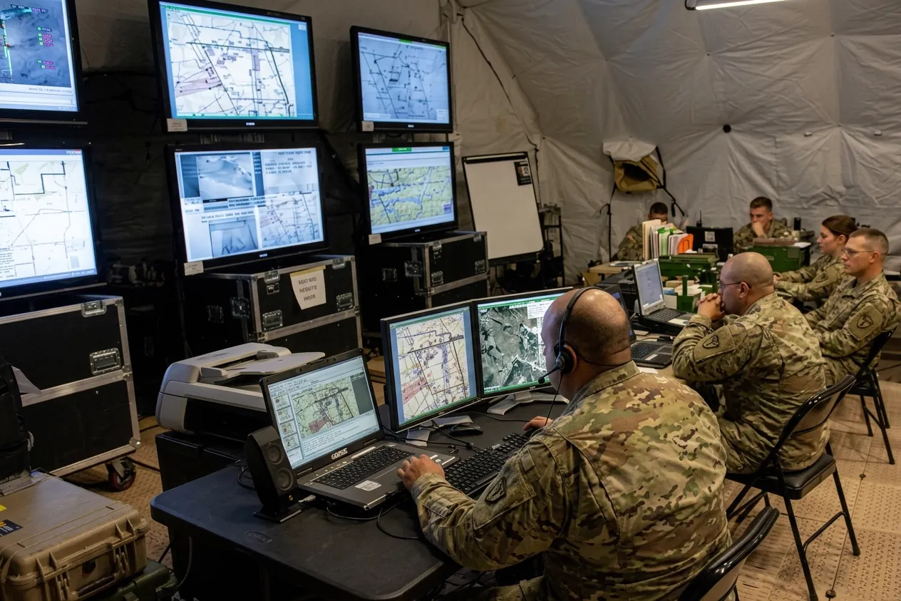
Whoever observes, orients, decides and acts faster than the opponent sets the pace. Where each step slows down, and how software is shortening the loop on the battlefield and in business.
Read Article
DARPA imagined a force of cheap, interchangeable pieces. Ukraine, Iran and the Pentagon suggest much of it is here, except the software to hold it together.
Read Article
Building an AI agent now takes minutes. Building one a military can trust with real missions is a different problem, and most of the hard parts have little to do with the model.
Read Article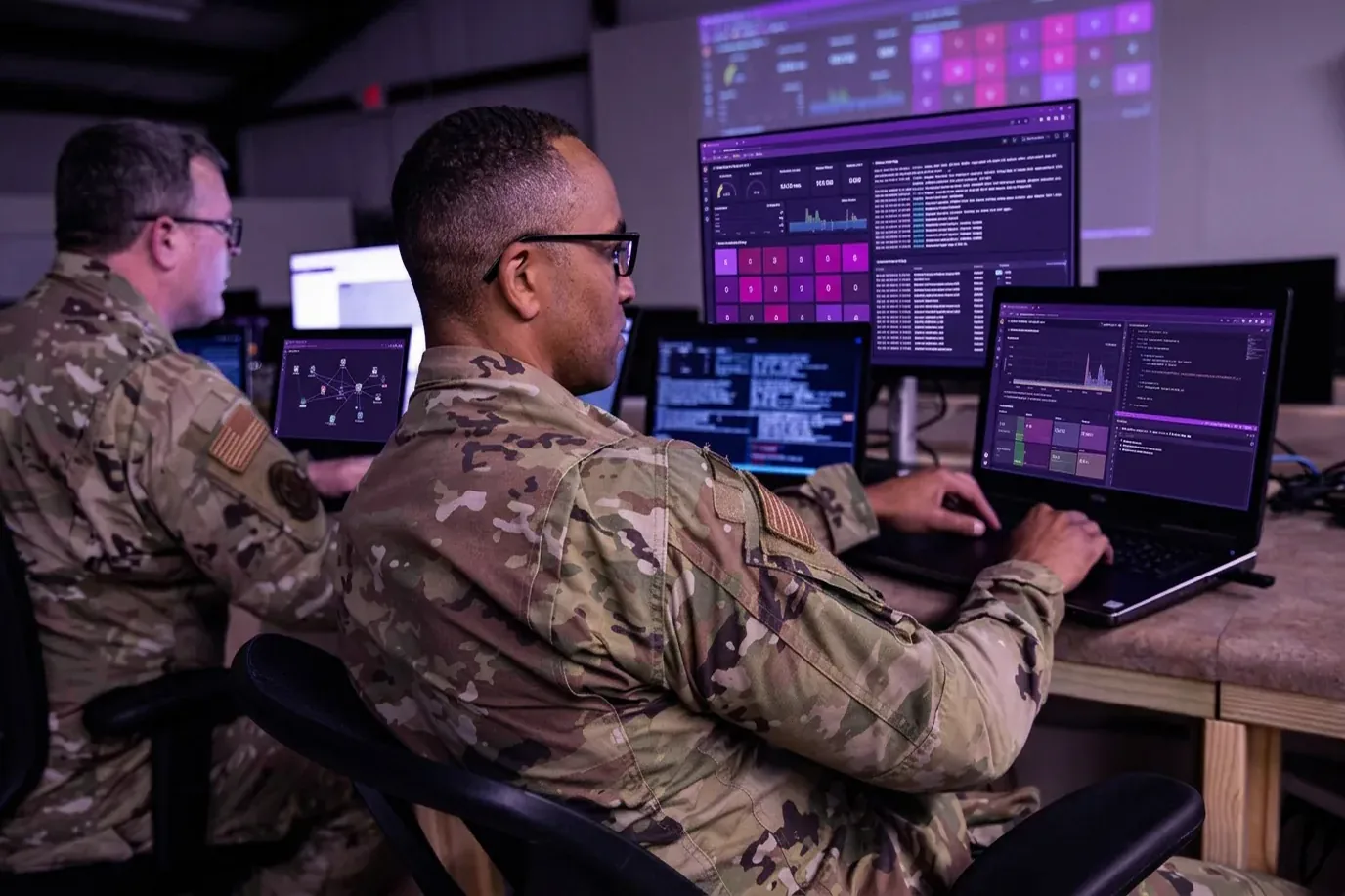
AI can write code faster than anyone can read it. In defense, that raises hard questions about security, accountability and who can still fix the system when it fails.
Read ArticleOur team comes from geospatial engineering, AI, R&D and defense strategy.

Ali Ashraf
Chief Executive Officer

Muhammad Shoaib
Tech Lead

Faeez Shabbir
Generalist Developer

Ameer Hamza
Integration Engineer

Khizar Waseem
Modernization Engineer

Masna Bin Umeed
Head of Product Design

Mahrukh Agha
Lead Geospatial Analyst
We're hiring in Lahore. If you like hard technical problems, apply below or message us.
Visor Dynamics builds AI for defense and geospatial intelligence. Our platforms cover 3D mapping (Elite Mapper), live drone video on terrain (Elite SPRINT), an offline reasoning harness for mission planning (Elite AI), and electronic warfare and C4ISR systems. We have done deep-tech R&D in this field for over ten years, for government and private clients.
In our systems, AI helps people plan missions, assess threats and get through large volumes of intelligence faster. Elite AI drafts mission plans and threat assessments from doctrine and manuals, our electronic warfare suite uses AI to analyze radar and RF signals, and our super-resolution model sharpens satellite and drone imagery without inventing detail. A human operator makes every final decision.
Elite AI is a reasoning harness built for defense. It draws on defense manuals, military doctrine and game theory, and it helps plan missions, assess threats, configure strike packages and summarize intelligence documents. It connects to an organization's own intel databases instead of relying on public knowledge.
Yes. Elite AI is built for air-gapped, no-internet environments. It makes no external API calls and runs encrypted inside secure data centers or isolated networks.
Our systems are compatible with OGC, US MIL-SPEC and NATO STANAG standards, including MIL-STD-2525, MIL-STD-2500C (NITF), STANAG 4609, STANAG 4586 and APP-6D. The full list is in Our Standards.
Elite SPRINT works with various military drones and DJI drones out of the box. It orthorectifies live video and drapes it on 3D terrain in real time, and records, indexes and plays back footage at scale.
Send us a message on LinkedIn with your organization and the product you're interested in. We work with government organizations and private companies.
We would love to hear from you. Send us a LinkedIn message for information about our products, services, and solutions.
